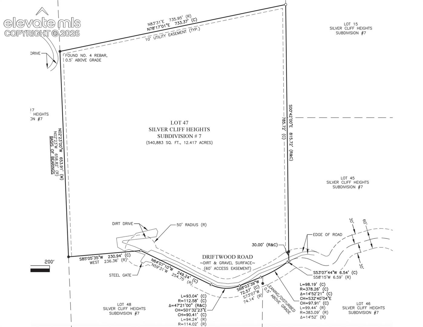
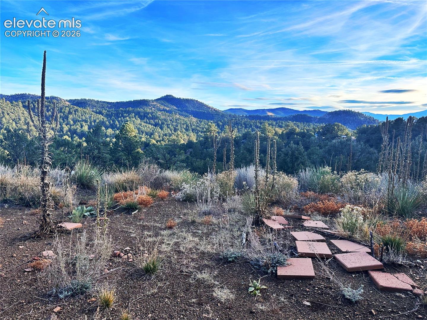
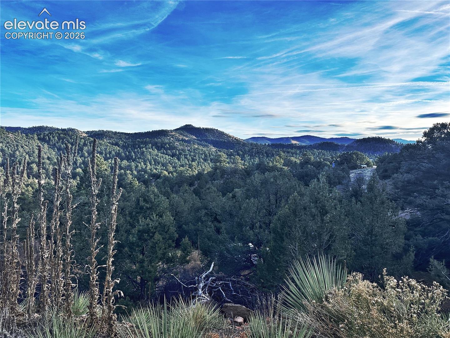
Compare Silver Cliff Heights homes near Westcliffe, then verify the label, road, utility, and county records.


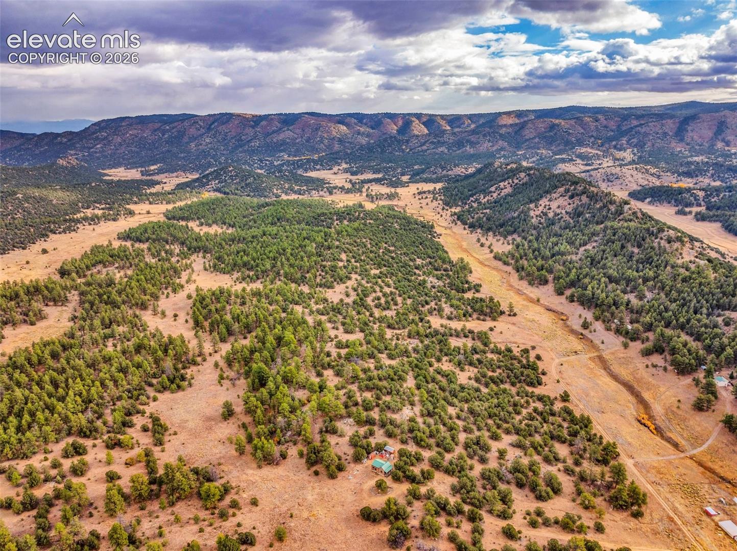
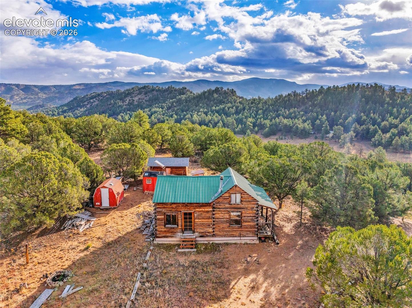
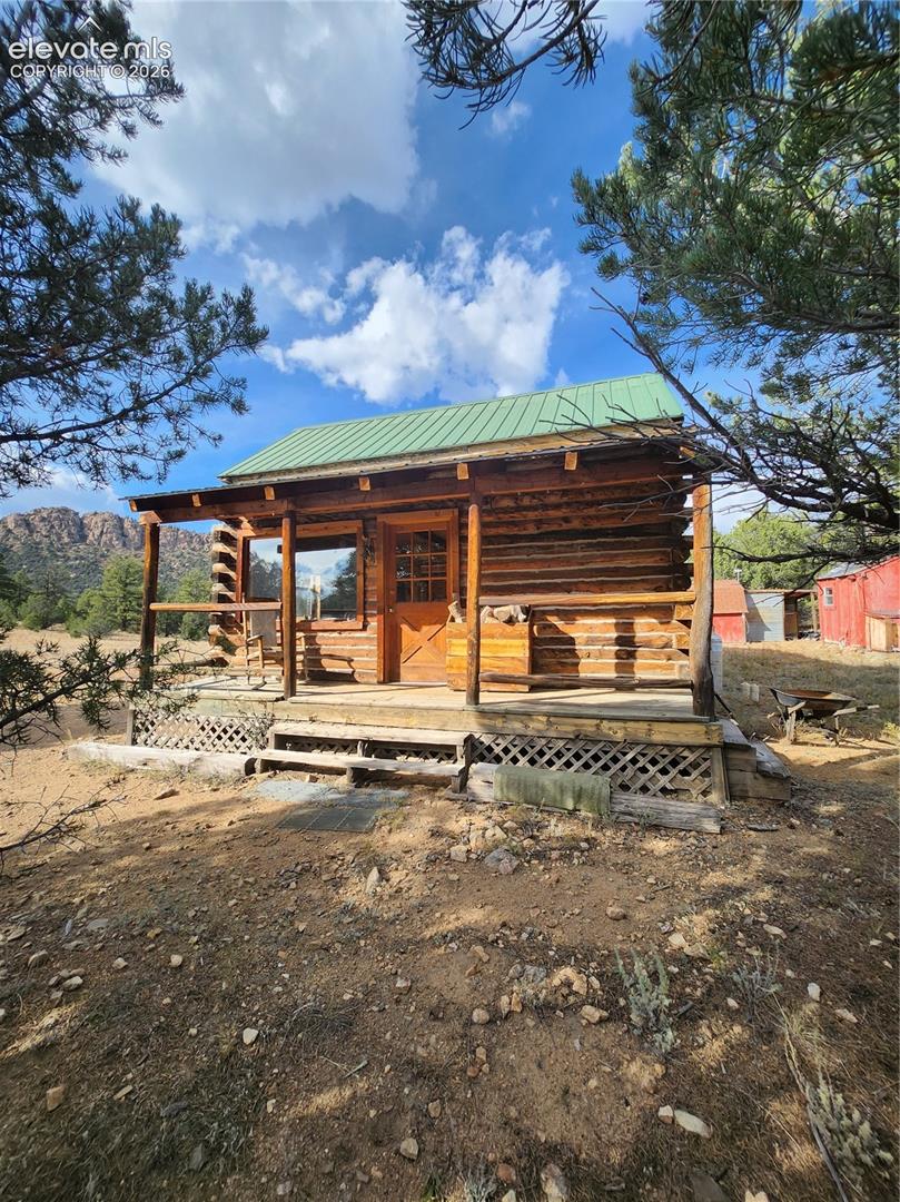


Silver Cliff Heights appears in Custer County subdivision mapping, but buyers should still verify the exact filing and legal description. Rural labels can cover lots that vary in access and utilities.
Listings may include rural homes, cabins, or vacant land near Westcliffe and Silver Cliff. Confirm whether the property is improved, buildable, seasonal, off-grid, or connected to utilities.
Map the route to Westcliffe, Silver Cliff, Highway 69, and the specific county or private road serving the property. Verify plowing, road maintenance, driveway grade, and emergency access.
Ask for well permits, septic permits, water quality tests, cistern details if any, and county approvals. A listing photo cannot prove the water system is adequate.
Review wind exposure, snow drifting, roof load, drainage, wildfire mitigation, propane setup, and foundation or pier conditions. The Wet Mountain Valley can make exposure very property-specific.
Do not assume. Ask for recorded covenants, dues, road agreements, building restrictions, and any animal or camping rules tied to the parcel.
Use the exact property address with the district boundary tool. Westcliffe, Silver Cliff, and subdivision labels are not enough.
Compare road maintenance, well and septic records, power availability, insurance, title exceptions, slope, and winter access. These checks help avoid overpaying for a hard-to-use rural parcel.