New - 30 Mins Ago

$1,150,000
Active
5
Beds
4
Baths
3317
Sqft
0.2
Acres
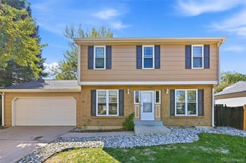
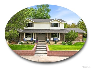
8624 E Mineral Cir, Centennial, CO 80112
MLS#: REC5916030
Moving to Centennial, CO: every home for sale in Centennial is below, updated daily, with the Centennial market snapshot under it and the relocation guide (neighborhoods, cost of living, commute, what to know before you move) after that.
See Centennial homes on the map
Call or text 303-955-4220. A live person answers.
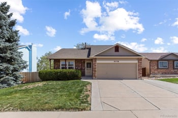
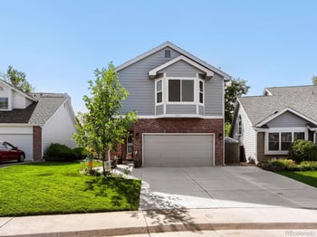
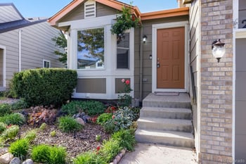
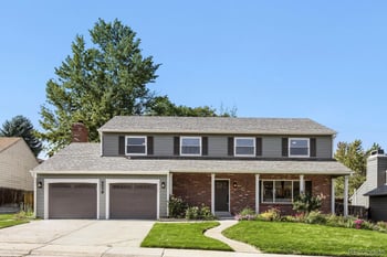

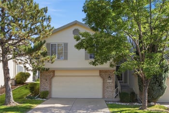
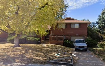
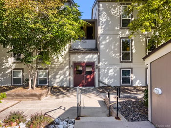
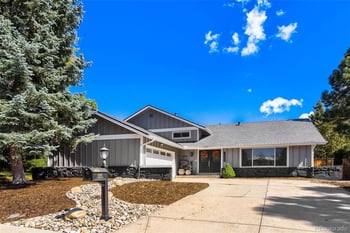
Moving to Centennial isn’t just a change of address—it’s a reset. Kenna Real Estate Group builds calm, step-by-step relocation plans for people headed to Centennial from across the Denver metro, out of state, or abroad.
Kenna Real Estate Group — South Denver
6300 S Syracuse Way, Ste 150, Centennial, CO 80111
Office: 303-955-4220 | Text: 303-955-4220
Same-Day Home Showings Available
Near Dry Creek / Arapahoe corridor (rail + DTC access): Willow Creek, Homestead in the Willows, Walnut Hills—mature trees, trail links, and quick connections to I-25, E-470, and RTD rail.
Close to shopping/dining at The Streets at SouthGlenn: Southglenn, Cherry Knolls—sidewalks, parks, and a short hop to retail, cafés, and services.
Parks and pool-centric living: Foxridge, Piney Creek, pockets east toward E-470 for newer amenities and straightforward airport access.
Lock-and-leave convenience: Townhome/paired-home enclaves tucked near major corridors for low-maintenance living with quick commutes.
Not sure where to start?
Highways: I-25 for Denver Tech Center and downtown connections; E-470 for DIA access; C-470 for west-side loops and mountain weekends.
Light rail: RTD’s E and F Lines serve Arapahoe at Village Center (just north in Greenwood Village) and Dry Creek, with park-and-ride options; the R Line links east-west along I-225. If rail access matters, we’ll target homes that keep your walk/drive time to stations predictable.
Airport options: Commercial flights via DIA; corporate and private via Centennial Airport (APA) in Arapahoe County.
Centennial uses multiple service districts. We’ll confirm providers for each address and share links in your move-in checklist:
Tell us your timeline, commute anchors, and must-haves. We’ll design your search, preview the right homes, and coordinate the rest—so move-in week feels organized, not chaotic.
Browse Centennial homes or call 303-955-4220. Prefer to text? Message 303-955-4220 for quick help.
Ready to find your place in Centennial?
Call or text Kenna Real Estate at 303-955-4220 for a calm, step-by-step relocation plan.
Kenna Real Estate Group at Keller Williams DTC · Call or text 303-955-4220. A live person answers, 7 days a week.
Houses, townhomes and condos on the market in Centennial this week.
$284 a square foot, median 2,229 square feet.
Payment, taxes, insurance, HOA at 7 percent with 5 percent down.
At 30 percent of gross income going to housing. Lenders allow up to 45 to 50 percent.
51 percent of Centennial listings carry an HOA, median $267 a month. Every number above comes from the listings on this page and updates with them. Nearby cities to compare before you decide: Lone Tree (113 homes for sale), Greenwood Village (80 homes for sale), Highlands Ranch (293 homes for sale), Cherry Hills Village (46 homes for sale). See the full list on Centennial homes for sale and the city facts on the Centennial area guide.
Text CENTENNIAL and what you are looking for to 303-955-4220. A live person answers, sets up the Centennial search and sends the relocation guide the same day.