A Quick Answer on Central Park
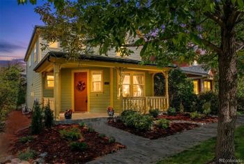
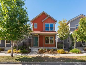
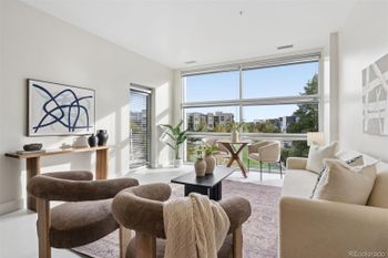
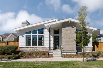
Keep Central Park on your list if you want a planned community with different kinds of homes and named places spread across the former Stapleton airport site. The redevelopment plan combined housing, commercial and community uses, and open space, but the community is too large to treat every home as though it offers the same location. Look at the current Central Park homes with three choices in mind: north or south of I-70, the kind of home you want, and the specific community documents that apply to it.
Denver city limits and neighborhoods map
The navy shape is the City of Denver as the US Census Bureau draws it in its 2026 boundary data. The sage shapes around it are the neighboring towns and unincorporated areas. Teal pins mark landmarks. Rust pins mark local favorites: places to eat, shop and get outside. Sage pins mark Denver neighborhoods with homes for sale, each placed at the center of its listings.
Tap a pin to open that area
- Landmark pin
- Local favorite: places to eat, shop and get outside
- Neighborhood pin
- Denver city limits
- Outside the city: another town or city
- Outside the city: unincorporated (uninc.)
- County line
- Highway
Map not to survey scale. Boundaries are simplified for display; the official city and county sites below are the record for any one address.
Sources: US Census Bureau TIGER/Line and TIGERweb boundaries and roads, 2026 vintage; US Census Bureau Geocoder; Neighborhood pins: average location of each community's active and coming-soon MLS listings on kennarealestate.com, pulled October 11, 2026; Landmarks and local favorites: each place's official website or the managing agency's page.
Local favorites in Central Park
- Bluff Lake Nature Center: Nonprofit-run nature preserve off Martin Luther King Jr. Boulevard with trails around a lake, wetlands and prairie.
- Stanley Marketplace: Former Stanley Aviation factory converted into a marketplace of local restaurants, bars and independent shops.
- Central Park Recreation Center: City recreation center on Martin Luther King Jr. Boulevard with leisure and lap pools, a gym and fitness studios.
Start With the Side of I-70 You Will Use Most
Start by choosing which side of I-70 puts your regular destinations closer to home. The northern areas extend from East 61st Avenue toward Arsenal, Dahlia, and Havana, with another pocket between I-70, East 46th Place, Beeler, and Dallas; south of I-70, compare homes around the East 39th Avenue, Ulster, and Central Park Boulevard corridor. Subdivision paperwork names do not tell you what a pocket feels like, so compare the streets and crossings around the current Central Park homes before deciding which side deserves your tours.
North of I-70: Northfield, Conservatory Green, and Newer Sections
Northfield and Conservatory Green put you among Central Park’s newer sections, but the exact home still determines how often you cross I-70 and which major streets enter your day. For any home near Central Park Boulevard or MLK Jr. Boulevard, drive the bridge and the streets around the home at the times you would normally use them, then stand outside long enough to judge street noise for yourself. That test can rule in a north-side home with a practical walk or drive or rule out one that adds an unwanted crossing to an ordinary week.
South of I-70 Connects the Station, Eastbridge, and the Creek Greenways
South of I-70, compare homes by their actual walk or drive to Central Park Station, Eastbridge, Westerly Creek, and the Sand Creek greenway. Central Park Station has RTD rail and bus connections, and the MCA maintains the community pool network, but those amenities matter only if you would use them from the home you choose. From each exact address, test the walk or drive to the station, the nearest pool, Eastbridge, and the greenways; that will separate a home that makes them easy to reach during the week from one that leaves you driving to reach them.