New - 15 Mins Ago

.jpg)


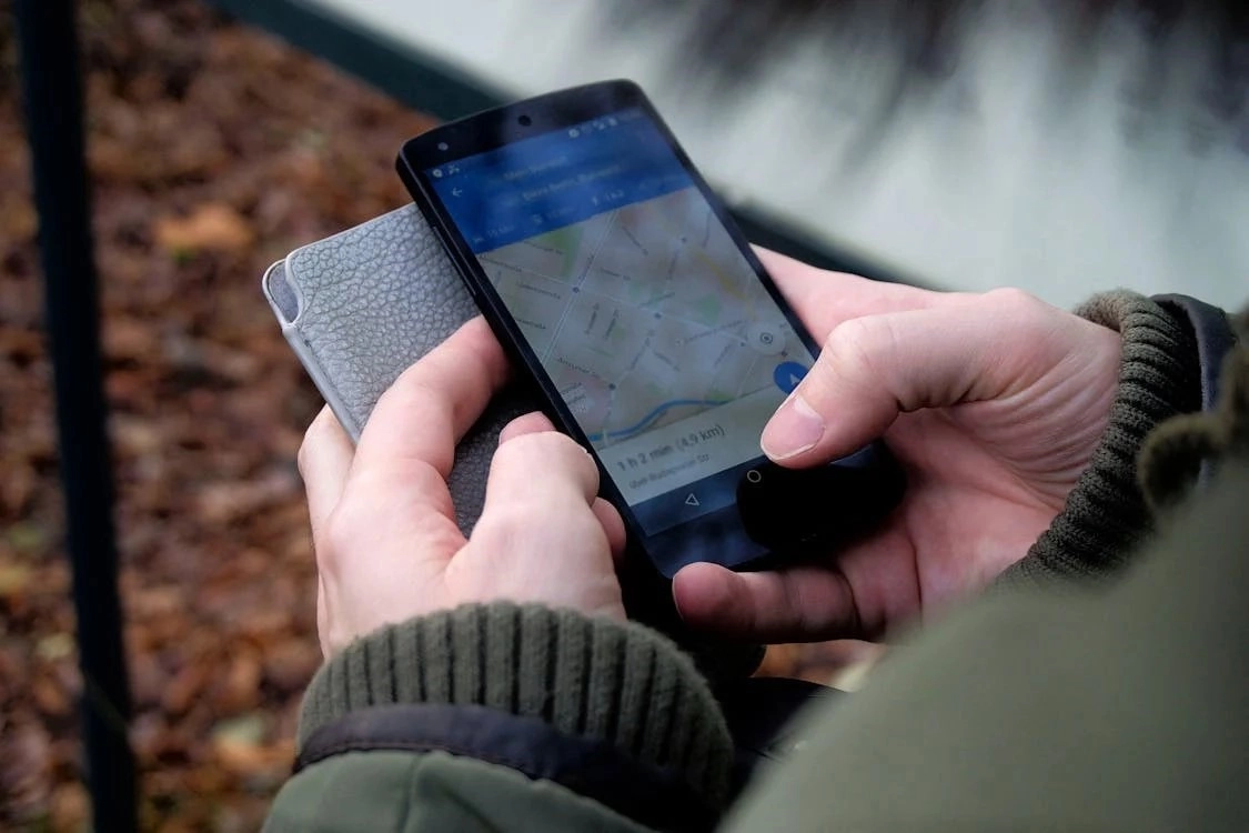
A land owner map app is worth the most to a Colorado buyer when it's used to check three things before an offer: exact parcel boundaries, easements or setbacks that restrict new construction, and hazard overlays like floodplain or wildfire zones. Free county assessor tools cover the basics; a paid land owner app adds layers most county sites skip.
These apps pull parcel boundaries, ownership records, acreage, zoning classification and topographic data into one searchable map. A buyer can type an address or coordinates, switch between layers for property lines and land use, and save a custom map for reference before touring a property. Tools like the land owner app from id.land layer county records over aerial imagery so a buyer can see boundary lines against the actual terrain rather than a flat plat drawing.
Denver, Arapahoe, Douglas, Jefferson, Larimer, Weld and El Paso counties each run a free public GIS parcel viewer through the county assessor's office. These tools show ownership, parcel lines, zoning and, on many county sites, recent sale prices for a specific address at no cost. A private land owner app adds convenience, cross-county search and extra data layers, but the county assessor site is the authoritative source when a boundary question actually matters.
No. Colorado allows mineral rights to be severed from surface ownership, so a parcel map showing who owns the surface says nothing about who owns what's underneath it; that requires a title search or a mineral rights report. Water rights work the same way under Colorado's prior appropriation system: owning the land does not automatically include a water right, and a land owner app has no layer for it. Both are questions for a title company or real estate attorney, not a mapping app.
A land owner app is a starting point for a fence, deck or accessory structure, not the final word. Parcel lines on any map app are drawn from public record data and run a few feet off the true legal boundary, close enough to matter. For anything permanent, a licensed surveyor's stake-out is the only way to know the exact line, and it's the standard the Kenna Real Estate Group recommends in its ILC vs. land survey guide for anyone closing on a Colorado property with a fence, shed or addition planned.
Before installing solar, a buyer or homeowner can use the map's easement and setback layers to check for utility easements running across the roof line or yard, and to confirm the parcel isn't crossed by a shared access easement that limits ground-mount placement. Colorado's solar-access law limits how far an HOA can restrict a properly sited system, but it doesn't override a legitimate utility easement or a required setback from the property line, both of which show up on a detailed parcel map.
FEMA floodplain maps and Colorado wildfire hazard overlays are both available as layers on most county GIS sites and many land owner apps. A parcel inside a mapped floodplain requires flood insurance for a federally backed loan, and a parcel in a mapped wildfire hazard zone changes both insurance cost and the defensible-space rules a county requires before building. Checking both layers before writing an offer avoids a surprise during underwriting.
Zoning classification determines whether a parcel allows a single-family home, an accessory dwelling unit, agricultural use or something else entirely, and it varies block by block inside Denver and by unincorporated-county rules outside city limits. The Kenna Real Estate Group's Denver zoning guide breaks down the classifications an investor or land buyer runs into first.
Buyers shopping for acreage, a horse property or land for a manufactured home use these apps to check parcel size, road access, and whether the land is landlocked without a recorded easement. The Kenna Real Estate Group's guide to buying a Colorado horse property covers what to check on the map before scheduling a tour of raw or lightly improved land.
Sellers of vacant Colorado land should pull their own parcel report before listing, since buyers and their agents will run the same search within minutes of seeing the listing. The Kenna Real Estate Group's guide on what Colorado landowners should know before selling and its companion piece on selling land in Colorado both start with the same parcel-level homework a map app can shortcut.
Parcel boundaries, zoning and environmental overlays change as counties update records, so re-check the map close to closing rather than relying on data pulled months earlier. Buyers who want a deeper layer of analysis can pair a land owner app with public GIS data sources for environmental and demographic overlays that go beyond what a basic parcel viewer includes.
A Colorado real estate agent working a land or investment deal stacks several map layers before writing an offer: the parcel boundary, the zoning classification, the floodplain and wildfire overlays, and a topographic layer for slope and drainage. Sharing that saved map with a buyer or a contractor before a site visit saves a wasted trip to acreage that turns out to be unbuildable, landlocked, or sitting mostly in a drainage easement. Investors comparing several parcels at once use the same layered approach to screen out weak candidates before spending time on a physical walk of the land.
The Kenna Real Estate Group helps Colorado buyers and land sellers read a parcel map correctly before an offer goes in, and connects anyone who needs one with a licensed surveyor. Call or text 303-955-4220. A live person answers. Not a robot, not a phone tree. You can also search every home for sale in Colorado while you plan your next move.
Questions about any home in Colorado? Call or text 303-955-4220. A live person answers.
It layers parcel boundaries, ownership, zoning and topography over aerial imagery so a buyer, landowner or agent can research a property before an offer or a construction project.
Yes. Denver, Arapahoe, Douglas, Jefferson, Larimer, Weld and El Paso counties each run a free public GIS site through the assessor's office showing ownership, parcel lines and zoning.
No. Colorado allows mineral rights to be severed from surface ownership, and water rights are governed separately under prior appropriation. Both require a title search, not a mapping app.
No. Parcel lines on any app are drawn from public record data and can run several feet off the true legal boundary. A licensed surveyor's stake-out is the only way to confirm the boundary before building.
Most county GIS sites and land owner apps include FEMA floodplain and Colorado wildfire hazard layers; check both before writing an offer, since either one can affect insurance and financing.
Yes. The easement and setback layers show whether utility easements or required setbacks limit where panels can go, which matters even though Colorado's solar-access law limits HOA restrictions.
Parcel size, road access, and whether the land is landlocked without a recorded access easement are the three things to confirm before scheduling a tour.
It reflects public record data, not a field measurement, and can run several feet off the true line. Treat it as a planning tool and order a survey before any permanent structure.
Start with the Colorado Horse Property Buying Guide, then search every horse property for sale in Colorado.
Buying or selling horse property in Colorado? Call or text 303-955-4220. A live person answers. Not a robot, not a phone tree.